

The climate phenomenon that could define the 2026-2027 summer and is raising expectations in the surf community.
The Pacific Ocean is going through an extraordinary warming process. According to the latest El Niño/La Niña Update from the World Meteorological Organization, published on September 3, El Niño is now firmly established and will reach very strong intensity in the coming months. In August, the Niño 3.4 index, which measures how much warmer than normal the equatorial Pacific is, hit +2.6 °C, values that put it close to the big El Niño events of 1982-83, 1997-98 and 2015-16.
Forecasts expect the phenomenon to keep strengthening through the spring and to peak around December 2026 and early 2027. The WMO puts the probability that it will last at least until February at nearly 100%.
But there's one question that matters especially to those of us who live by the ocean: what could this "Super El Niño" mean for the waves in Mar del Plata and the rest of Argentina's Atlantic coast?
To answer it, we first need to understand what El Niño is, how it works and how it can influence the weather systems that generate our swells.
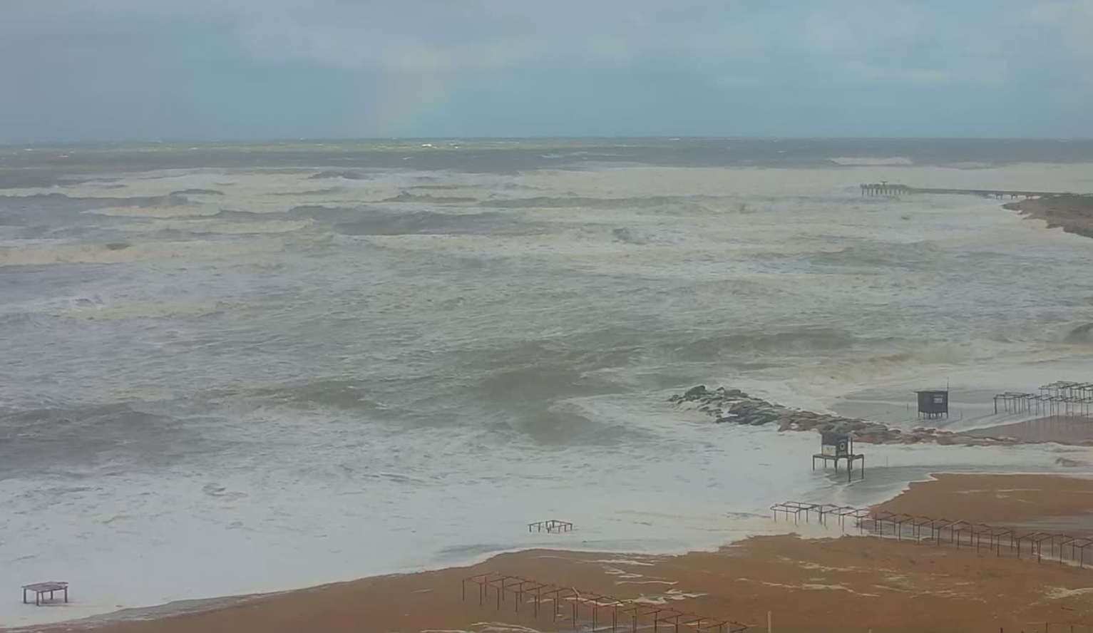
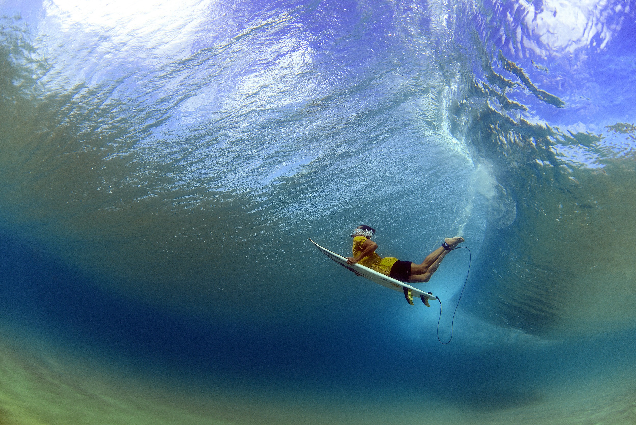
This is how the biggest swell of 2026 rolled into Miramar. Image: Lineup Cam Rewind.
What is El Niño?
El Niño is the warm phase of the phenomenon known as ENSO (El Niño-Southern Oscillation), a system of interaction between the ocean and the atmosphere that develops mainly in the equatorial Pacific.
Under normal conditions, the trade winds push warm surface waters toward the western Pacific, while colder water rises from the depths off the coast of South America.
During El Niño, those winds weaken and the surface waters of the central and eastern Pacific start warming above their usual values.
This warming changes atmospheric circulation on a global scale, altering patterns of rainfall, temperatures, winds and storm tracks in different regions of the world.
When temperature anomalies are exceptionally high, people often talk about a "Super El Niño". It's a term used by the media for episodes of extraordinary intensity; it doesn't exist as an official meteorological category.
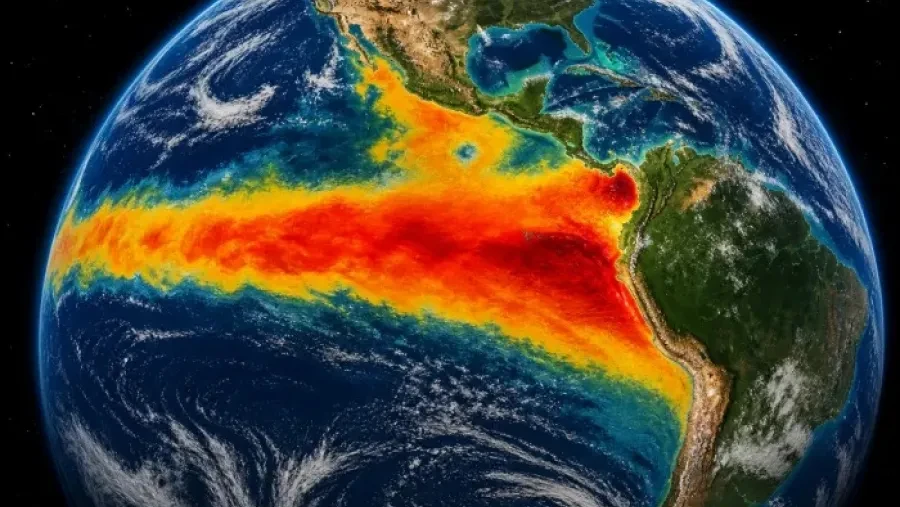
In August, the Niño 3.4 index, which measures how much warmer than normal the equatorial Pacific is, hit +2.6 °C
Why does Argentina feel its effects?
Even though the phenomenon originates thousands of kilometers from our shores, its consequences can be strongly felt in South America.
In Argentina, El Niño tends to bring increased rainfall to the central-east and northeast of the country, especially during spring and summer.
The Pampas region, Buenos Aires province and the Litoral can go through wetter-than-usual periods.
This happens because changes in atmospheric circulation favor certain setups of moisture, wind circulation and storm systems.
However, its effects aren't the same in every region or in every episode. Each El Niño has its own characteristics, and its impacts also depend on other climate factors.
The track record: what happened on our coast during past El Niños?
Some historical background helps put into perspective what could happen during this new episode.
1982-1983: one of the great historic events
It was one of the most intense El Niño episodes of the 20th century. In Argentina it was linked to major excess rainfall and flooding, especially in the Litoral basins and the Pampas region.
1997-1998: a precedent worth special attention
It was another of the most intense episodes in recent history.
During that period, major storms hit the Buenos Aires coast, like the one in April 1998, when strong southeast winds left a fishing boat run aground at Playa Popular, in Mar del Plata.
It's important to clarify that these storms weren't necessarily caused by El Niño. They were specific weather events that coincided with that climate period.
2015-2016 and 2023-2024
These were also significant episodes, associated with above-normal rainfall, rising rivers and flooding in different parts of Argentina.
This history shows that El Niño can have major consequences for our country, but on its own it doesn't let us predict how the ocean will behave off Mar del Plata.
How could the "Super El Niño" affect waves and surfing?
El Niño doesn't generate waves directly on our beaches. Nor does it mean we'll automatically get more surf days.
Its influence is indirect: it changes atmospheric circulation patterns and can favor shifts in the frequency, intensity and track of certain weather systems.
Extratropical cyclones and low-pressure areas are some of the main generators of powerful swell in the South Atlantic.
When these systems deepen and stay active for a while, they can produce strong winds over large stretches of ocean. That energy is transferred to the water and can travel as groundswell all the way to our coast.
For surfing, this could mean more storms offshore in the South Atlantic and, with them, more swell events with size and energy, always depending on where those systems sit and which way they move.
But there's a key difference: more energy in the ocean doesn't necessarily mean better waves to surf.
A storm can produce a huge, messy and dangerous sea, with onshore winds and conditions that are completely unfavorable for surfing.
What can we expect in Mar del Plata and the Buenos Aires coast?
Our coast has particular geographic features that make each swell and wind direction produce a different response.
In Mar del Plata, east and northeast swells tend to mainly favor the northern and central areas, while south and southeast swells can find better conditions at more exposed spots along the southern part of the coast, depending on direction and wind.
If the "Super El Niño" favors more weather-system activity in the South Atlantic, we could see periods with more ocean movement and some swell events worth watching for our region.
However, for that potential to turn into good sessions, several factors need to line up:
- A well-positioned storm with enough fetch over the ocean.
- Persistent winds that can build swell with energy and period.
- A favorable swell direction for each beach.
- Offshore or cross-offshore local winds to clean up the breaks.
- The right combination of tides and sandbar conditions.
Knowing there's a "Super El Niño" isn't enough. We need to look at what's happening in the South Atlantic and how the weather systems that actually generate the waves evolve.
Final take
The "Super El Niño" sets up an interesting scenario for the 2026-2027 summer, and it's worth keeping a close eye on.
The possibility of periods with more ocean activity is there, but we can't guarantee a season with more waves or better surf conditions.
The key will be watching how extratropical cyclones, swell direction, periods and local winds evolve.
At Lineup we'll keep monitoring these changes to understand what the South Atlantic may have to offer and to call the best times to get in the water.
See you in the water.